
US tracks bird flu with help from Google
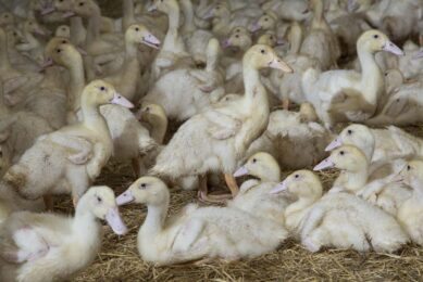
Sophisticated computer imaging is helping the poultry industry prepare for the potential arrival of the H5N1 bird flu virus in the US later this year.
Commercial poultry flocks, feed mills and processing plants can be pinpointed by Geographic Information System (GIS) technology, according to Sherrill Davison, professor of avian medicine at the University of Pennsylvania.
In the case of a US appearance of the virus, this information could be used to help define buffer zones to contain the spread of the virus.
With the same intention, experts have also been using Google Earth, combining satellite imagery, maps and the company’s search engine. Google Earth gives extra details including the location of buildings, schools and roads near large chicken and turkey farms and production facilities.
Davison said that the new technology enables a rapid response and can help to contain any outbreak, by quickly identifying farms in an affected area.
Davison and colleagues at the University of Pennsylvania were among the first to develop GIS technology to monitor poultry flocks in 1998.
Join 31,000+ subscribers
Subscribe to our newsletter to stay updated about all the need-to-know content in the poultry sector, three times a week.


 Beheer
 WP Admin
  Bewerk bericht