
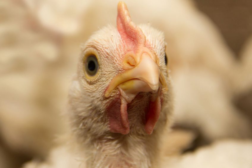
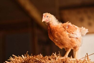
US: Polluting poultry farms in the spotlight
Locating large polluting poultry and pig farms have for some time caused issues for environmental regulators in the United States. But now scholars at Stanford Law School have created an algorithm that reads satellite images which can help regulators identify facilities more efficiently than before.
The brains behind the algorithm, Professor Daniel Ho and PhD student Cassandra Handan-Nader, have figured out a way for machine learning – teaching a computer how to identify and analyse patterns in data – to efficiently locate industrial animal operations and help regulators determine each farm’s environmental risk.
Professor Ho said of the work, published last month in Nature Sustainability: “It shows how a government agency can leverage rapid advances in computer vision to protect clean water more efficiently.”
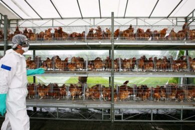
The US Environmental Protection Agency has said agriculture is the leading contributor of pollutants into the nation’s water supply, and that substantial pollution comes from large-scale, concentrated animal feeding operations, known as CAFOs.
CAFO locations
But environmental monitoring efforts have been stymied by a basic problem: Regulators have no systematic way of determining where CAFOs are located. The United States Government Accountability Office says there is no federal agency that has reliable information on the number, size and location of large-scale agricultural operations.
And while the Clean Water Act requires some federal permitting, it only applies to operations that actually discharge pollutants into US waterways: “This information deficit stifles enforcement of the environmental laws of the United States,” argues Prof Ho.
Deep learning algorithms
So, Prof HJo and Handan-Nader used big data to fill the gaps, turning their attention to a type of artificial intelligence called deep learning. A subset of machine learning, deep learning algorithms have revolutionised the ability to detect complex objects in imagery.
With the help of several open source tools and a team of students, the pair were able to retrain an existing image-recognition model to recognised large-scale animal facilities by using available satellite images from the USDA’s National Agricultural Imagery Program (NAIP).
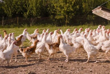
The researchers focused on trying to identify poultry facilities in North Carolina because most are not required to obtain permits. The model was trained to pick up long rectangular barns and dry manure storage. By homing in on such prominent features, the model was also able to provide size estimates for the facilities.
They found that their algorithm was able to identify 15% more poultry farms than what was originally found through manual endeavours. And because their approach could scale across years of NAIP imagery, their algorithm was able to accurately estimate growth within the vicinity of a recently constructed feed mill.
“The model detected 93% of all poultry CAFOs in the area, and was 97% accurate in determining which ones appeared after the feed mill opened,” they said in the paper.
Handan-Nader added that using machine learning for rote tasks could free people to do more complex work, such as determining the possible environmental hazards of a facility. She estimated that the algorithm could capture 95% of existing large scale facilities using fewer than 10% of the resources required for a manual census.
Join 31,000+ subscribers
Subscribe to our newsletter to stay updated about all the need-to-know content in the poultry sector, three times a week.


 Beheer
 WP Admin
  Bewerk bericht