
‘Risk-based bird flu mitigation’
Preventing avian influenza outbreaks starts with good situational awareness. That is why Utrecht University is plotting all the risk indicators together in a risk model. After completing a digital risk map for the Netherlands, they are now working on a European version.
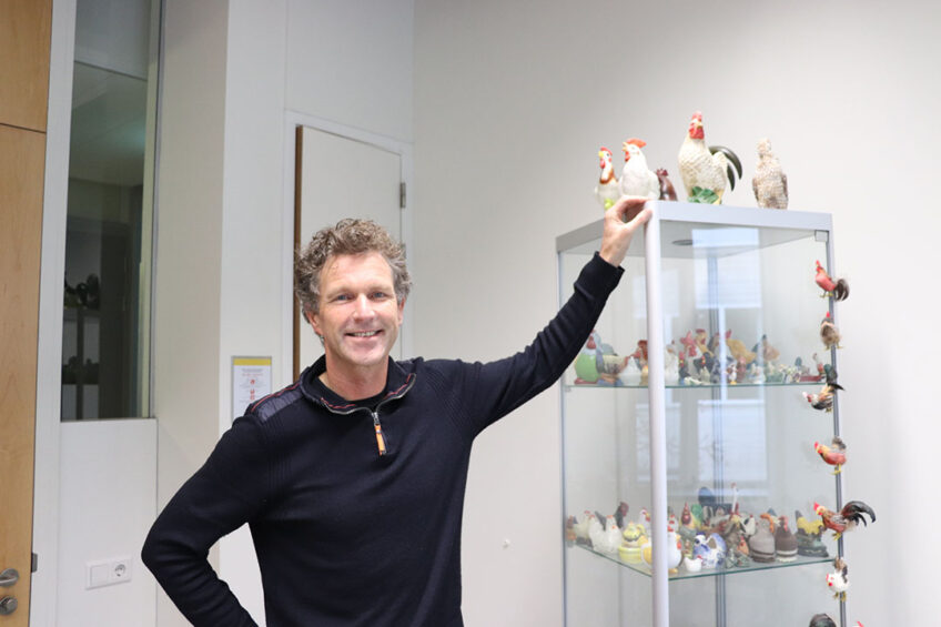
In the summer of 2021, Dr Janneke Schreuder, veterinarian and epidemiologist at Utrecht University, obtained her doctorate on a broader approach to preventing bird flu.
“This project is part of our general research theme here at Utrecht University that focuses on infectious diseases in animals,” says Professor Arjan Stegeman, who supervised Janneke Schreuder’s PhD thesis. Stegeman chairs the Farm Animal Health division at Utrecht University, which has been conducting research into avian influenza since 2003 when the first major bird flu outbreak hit the Netherlands. “In that particular outbreak the disease started as a low pathogenic virus variant, inducing mild disease on one farm. From there it mutated into a highly pathogenic variant, spreading to large parts of the Dutch poultry industry.”
The fact that the bird flu virus has been able to spread so quickly worldwide since the 1990s is also due to the enormous increase in the scale and density of poultry farms in certain parts of the world, in the professor’s view. “Another reason is that the vaccines that are sometimes used don’t protect against the spread of the virus, much like the coronavirus vaccines in human medicine.”
Risk maps with risk areas
The avian influenza variant of most concern is H5N1, a highly pathogenic variant. According to Stegeman, the problem is that wild bird populations became increasingly resistant to this virus strain because they are constantly exposed to it. When the H5 virus jumped from poultry to migratory birds in Asia for the first time, it caused significant problems.
“However, as it turned out, over time the wild birds didn’t always die immediately after infection, allowing for the selection of variants that could persist in these populations. In the breeding areas, in Siberia, for example, Asian migratory birds come into contact with migratory birds from Europe. In this way those variants could spread further from Asia to Europe,” says Stegeman.
”…the bird flu virus can mutate very quickly.”
Over time, some wild birds became carriers of the highly pathogenic variants. Meanwhile, there are now also other H5 variants in circulation in wild bird populations, such as H5N2, H5N6, H5N8. When wild birds are infected, they either die or they become resistant and can act as a reservoir from which commercial poultry can be infected. “The course of the disease in commercial poultry is so acute that they succumb without warning.”
Another tricky thing about the bird flu virus is that it can mutate very quickly. This is because many bird species migrate to gathering places and then infect each other. That is why one of the components of Schreuder’s research was to perform risk analyses. Dr Fred de Boer of Wageningen University helped Schreuder with making these risk maps with risk areas. The risk maps for bird flu have already been completed for the Netherlands and De Boer is now planning to map the risk areas for Europe, too.
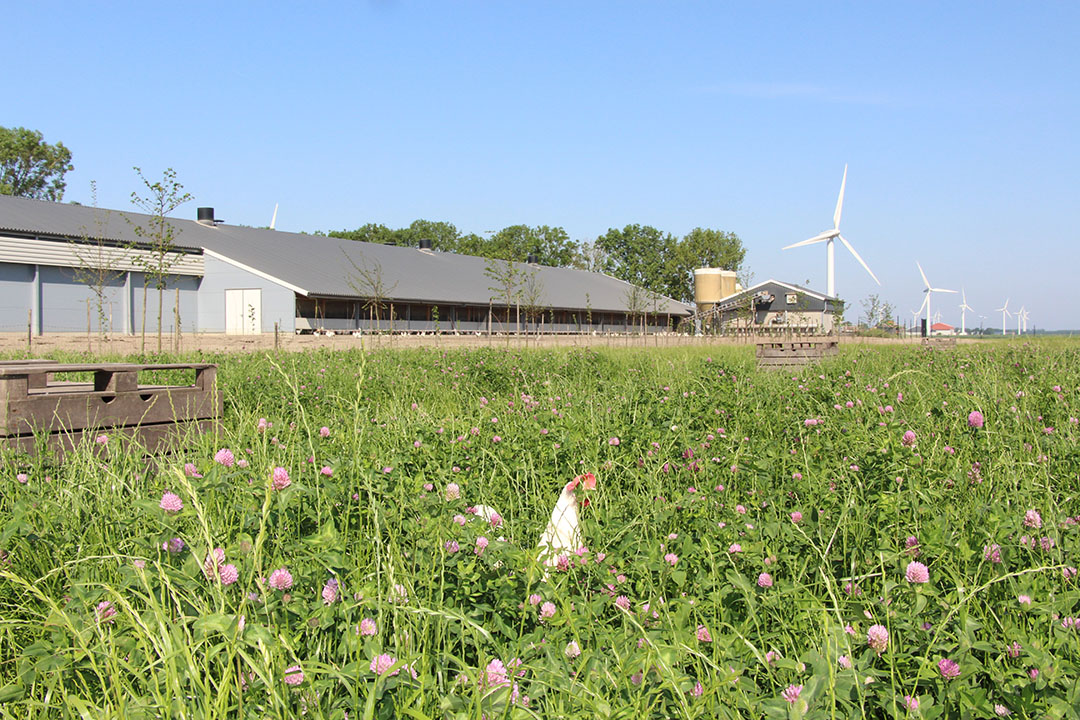
“You can see on these maps where the high and low risk areas are, areas which are associated with high or low densities of certain wild bird species that are known to be good host species for highly pathogenic avian influenza viruses,” said Stegeman, who believes that these risk maps could be used by poultry farmers, for example, to establish new farms in areas where the risk of infection from wild birds is relatively small. Governments could also use these maps in support of their permit policy when assessing new poultry projects.
Predictive model
For research into where wild bird populations flock together, Schreuder used data from Sovon, the Dutch Centre for Field Ornithology. This organisation collects very detailed data on the densities of bird species. “Schreuder used this data to analyse the distribution of 54 wild bird species, mainly geese and ducks, as well as birds of prey. These results were combined with data from bird flu outbreaks between 2014 and 2018. Subsequently, the PhD student made a model that allows you to predict where the risks of an outbreak are greatest. Based on that model, a risk map was made for the Netherlands,” said Stegeman, adding, “We also used the model for the latest outbreaks in 2020 and even those in 2021. Very fascinating, because then you can really see the model at work.”
What also emerged from the PhD student’s research is that some bird species sometimes transmit more virus than other species. “As indicated, there are now various highly pathogenic virus variants in circulation all over the world. However, which type is dominant and how sick birds become, varies from year to year. In 2020-2021 many wild geese in the Netherlands became infected with bird flu, as did scavengers, such as birds of prey. In other years it was different species, like wigeons or tufted ducks.” This information can also be included in the annual risk maps.
The fact that the model and the risk maps provide a good indication of where the risk of outbreaks is greatest is useful, says the professor. “However, it is still hard to predict the exact transfer of infection from wild birds to poultry. To be able to say something about causality, you would have to examine the local conditions: the landscape, the actual presence of migratory and resident wild birds, and whether they are infected. The movements of people and the role of mice, rats or other animals, for example, around poultry farms may also have an influence.”
Real time future
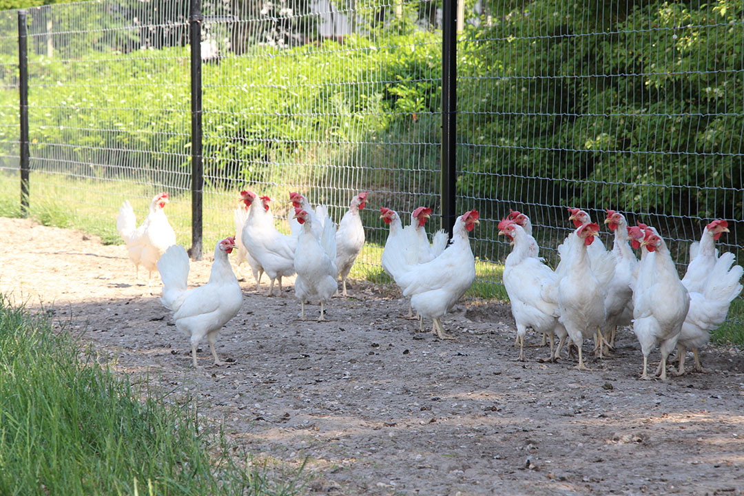
In the water-rich Netherlands there is now an expert group on animal diseases that advises the Dutch Ministry of Agriculture on avian influenza mitigation measures. Stegeman: “The Ministry is already using the risk map that has emerged from our model. In addition, our research has shown that mortality in laying hens is a very sensitive measure for early detection of bird flu infections, along with mortality in combination with clinical signs in meat ducks. This knowledge means that companies and veterinarians can recognise bird flu more quickly.”
As the professor notes, the research also shows how urgent the topic is and how important it is that you keep a close eye on even the smallest changes in animal health on a farm.
Stegeman believes that it may be necessary to look at how a better spread of poultry farms worldwide can be achieved. Another aspect which could also be examined is where the greatest risk areas are. For example in the vicinity of places where vast numbers of waterfowl gather. “Ideally, that would not be a place to start a poultry farm,” says the professor. “You should also try to prevent an agglomeration of poultry farms in other suitable locations.”
If you put all the risk indicators together on risk maps, in principle, you could create a real-time digital risk map. Poultry farmers and governments could go to a website to check this map and immediately see which area(s) or region(s) are currently most at risk of bird flu infection. Technically it is possible to create dynamic, real-time risk maps of this kind but the present risk map is static and was drawn up on the basis of the available data, pooled over several years. “So there is still some work to be done before real-time risk estimates become available,” Stegeman concludes.
Join 31,000+ subscribers
Subscribe to our newsletter to stay updated about all the need-to-know content in the poultry sector, three times a week.


 Beheer
 WP Admin
  Bewerk bericht